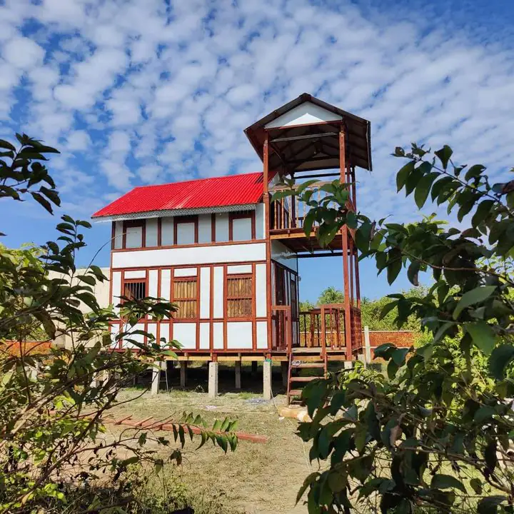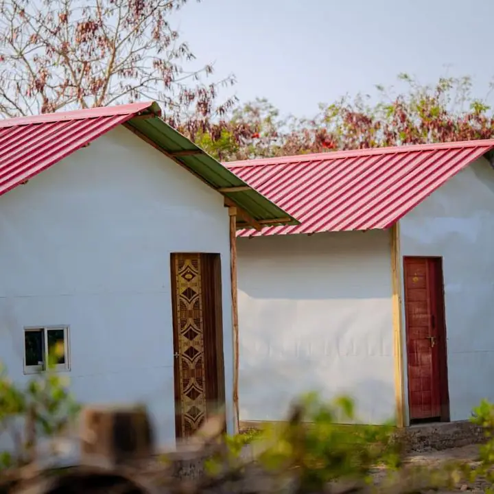
Saint Martin's is the southernmost part of Bangladesh, in the Bay of Bengal off Teknaf. Where exactly it is, and how to find it on a map.
Saint Martin's Island (St Martin Island, or Narikel Jinjira) is the southernmost part of Bangladesh, a small coral island in the north-east of the Bay of Bengal. Here's exactly where it is and how to find it on a map, from El Marena Eco Resort at its southern end.
Where it is
- Country and district: Bangladesh, in Teknaf upazila of Cox's Bazar district, Chattogram division (Wikipedia).
- From the mainland: about 9 km south of the tip of the Cox's Bazar–Teknaf peninsula (Banglapedia).
- Near Myanmar: about 8 km west of Myanmar's north-west coast, near the mouth of the Naf river (Banglapedia).
- Coordinates: between 20°34' and 20°39' north and between 92°18' and 92°21' east (Banglapedia).
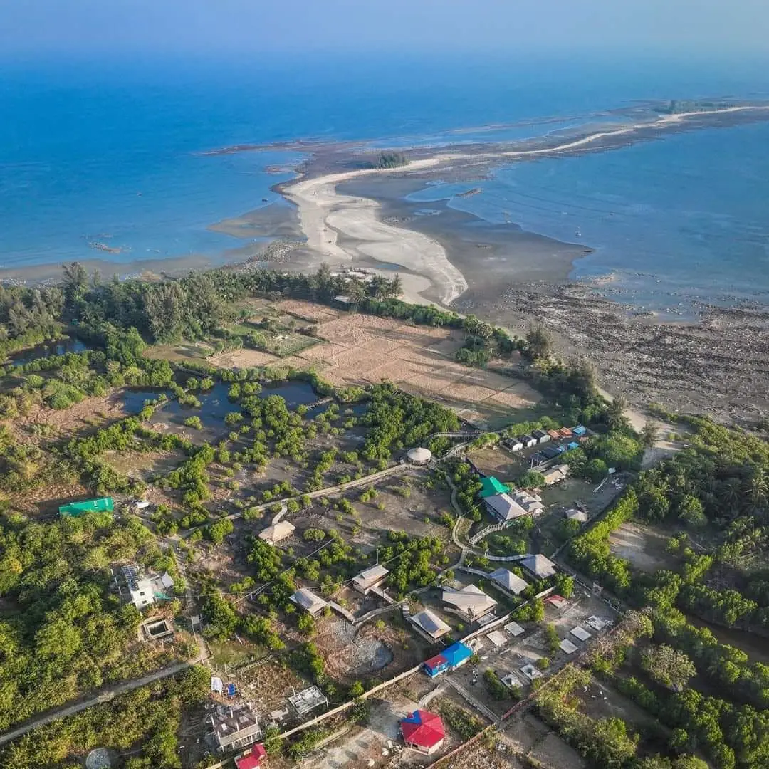
The shape of the island
The island is about 7.3 km long and runs roughly north to south (Banglapedia). The north is the widest part: the ships dock there and most hotels are there too. The middle is very narrow, only about 500 m across. The south widens again, and off its tip are the small islets of Chera Dip, which you can walk to at low tide. More in our island facts.
Finding it on a map
- On Google Maps or OpenStreetMap, search for "Saint Martin's Island". Zoom out a little and you'll see it just below the tip of Teknaf, close to the coast of Myanmar.
- There are no cars on the island: you get around by van, rickshaw or bicycle. See getting around Saint Martin.
- El Marena is at the southern end, near Chera Dip, at 20.5917, 92.3277. Our contact page has the map link.
How to get there
Tourist ships leave from Nuniarchhara jetty in Cox's Bazar, about 5 to 6 hours each way, and dock at the jetty in the north. From there a van or rickshaw takes you south. Distances and times: Cox's Bazar to Saint Martin.